Overview
GIS-based Capital Improvement Planning dashboard for Castle Rock, CO. This project uses ArcGIS Pro, Survey123, and Experience Builder to collect and visualize field data, supporting real-time infrastructure assessment and decision-making.
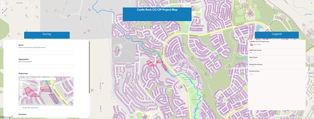
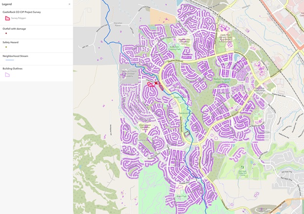
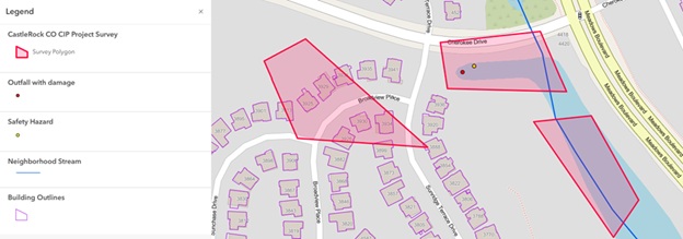
Capital Improvement Project location
↑ Zoom and click features to explore. Layers were created in ArcGIS Pro, exported to GeoJSON, and displayed here using Leaflet.
Methodology
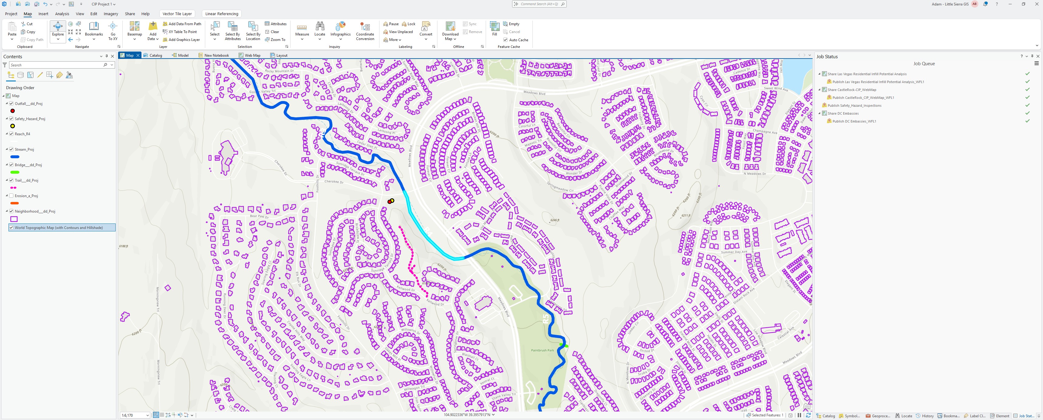
Infrastructure and stream data was downloaded from the Douglas County CO GIS open data portal and the Town of Castle Rock Data Catalog. A project map was created in ArcGIS Pro using these datasets as a base. Field technicians then collected condition data on mobile devices using Survey123, with submissions feeding directly into ArcGIS Online. Results were visualized in an Experience Builder dashboard for real-time infrastructure assessment and decision-making. Data was then exported to GeoJSON and displayed interactively using Leaflet.
- Downloaded base data from Douglas County CO GIS and Town of Castle Rock Data Catalog
- Built project map in ArcGIS Pro using downloaded datasets
- Field technicians collect infrastructure condition data using Survey123 on mobile devices
- Submissions integrated into ArcGIS Online for spatial analysis and attribute standardization
- Results visualized in an Experience Builder dashboard for real-time decision-making
- Data exported to GeoJSON and displayed interactively using Leaflet
Key Findings
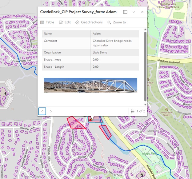
Outfall with damamage is identified by a Field Technician and colleceted with ArcGIS Field Maps on Android Phone
Screenshots